Designing trusted information services for everyday decisions and public safety
At the Bureau of Meteorology, I worked across public-facing services, specialist forecasting tools and complex environmental information.
My projects included everyday weather services, emergency management, water information, tropical cyclone communication, climate services and tools used by forecasters and operational teams.
Across this work, I used research, service design, prototyping and testing to help people find, understand and act on information where clarity, accuracy and trust matter.
Featured project
Murray–Darling Basin Water Information Portal
Creating one public source for complex water information
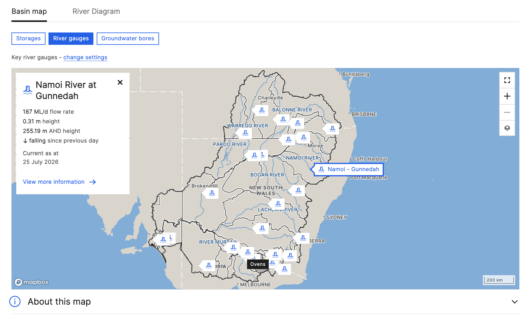
The Murray–Darling Basin Water Information Portal brings together information about water supply, reserves, allocation, pricing and trading across the Basin.
The project responded to a commitment to create a single, publicly accessible information source that would help communities and water users better understand and manage water.
I worked across discovery, stakeholder engagement, prototype testing, design iteration and the development of high-fidelity concepts for delivery.
The portal was also the first major Bureau product to launch using the new website interface styles, well before the broader Bureau website was released.
View case study
Selected Bureau work
Public Weather Discovery
Understanding how Australians use everyday weather information
The Bureau wanted to design a new public weather service, but there was no clear definition of the general public customer or a shared understanding of how people used weather information in everyday life.
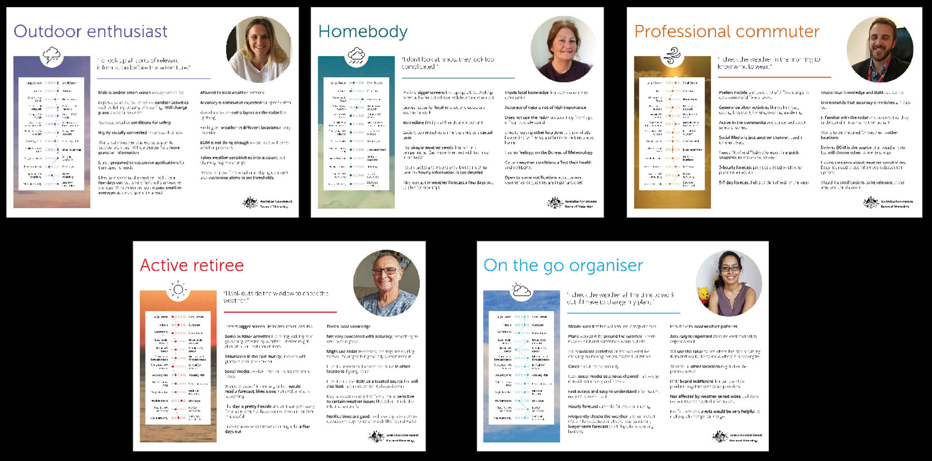
Research with 50 participants across Victoria and Queensland challenged internal assumptions about how people used weather data. The work produce 5 behavioural archetypes, design principles and an alpha prototype, later validated with 500 users before moving into build.
BOM Weather app
Supporting a widely used national weather service
The BOM Weather app was re-platformed and visually updated to create a more consistent experience across the Bureau’s digital channels.
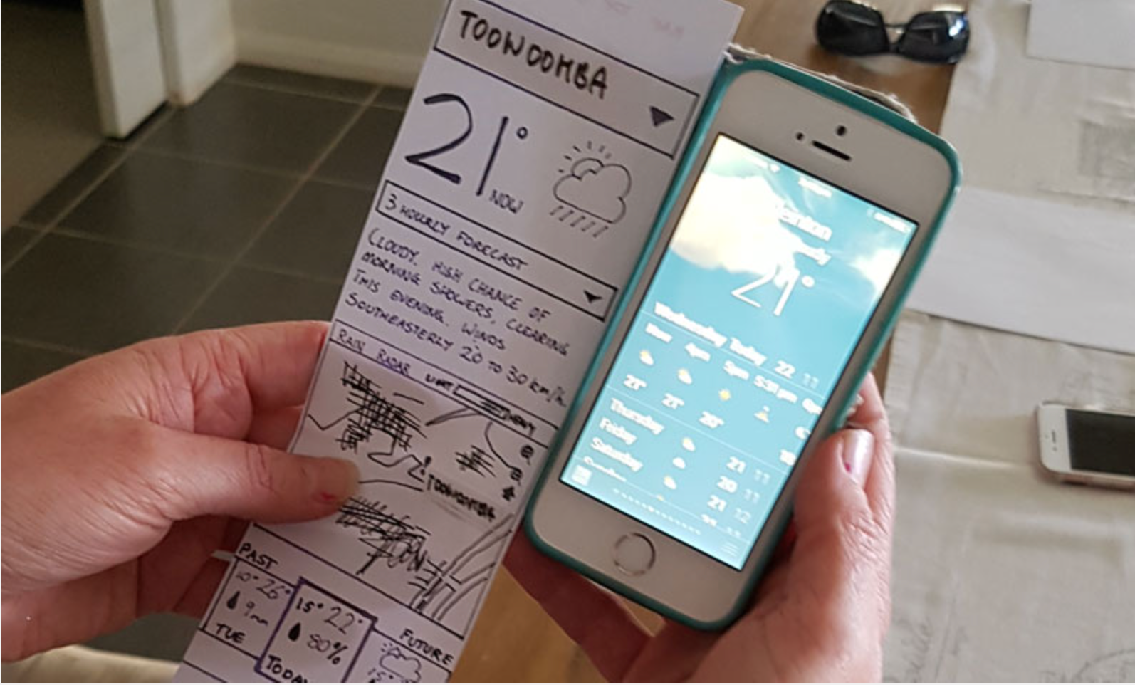
Building on previous weather research and ongoing customer feedback, the team tested concepts, accessibility, marine information, radar presentation, notifications and other new features.
In my UX Lead responsibilities, I planned research activities and worked with designers, developers, the product owner, business analysts and the scrum team to integrate testing into the delivery cycle.
Research included street-based guerrilla testing, prototype interviews, first-click testing, surveys and a major closed beta involving:
•1,944 BOMideas participants
•1,408 existing app users
•394 Bureau employees
The refreshed application launched in 2020, with research and continuous improvement continuing through later releases.
Link to prototype

Weather App Analytics by July 2021
Public Safety
Designing for emergency management partners across Australia
The Public Safety program explored the relationship between the Bureau and emergency management organisations through an all-weather-hazards approach. As Experience Design Lead, I managed research activities, workshops and stakeholder engagement while supporting and mentoring the UX team.
Understanding the internal landscape
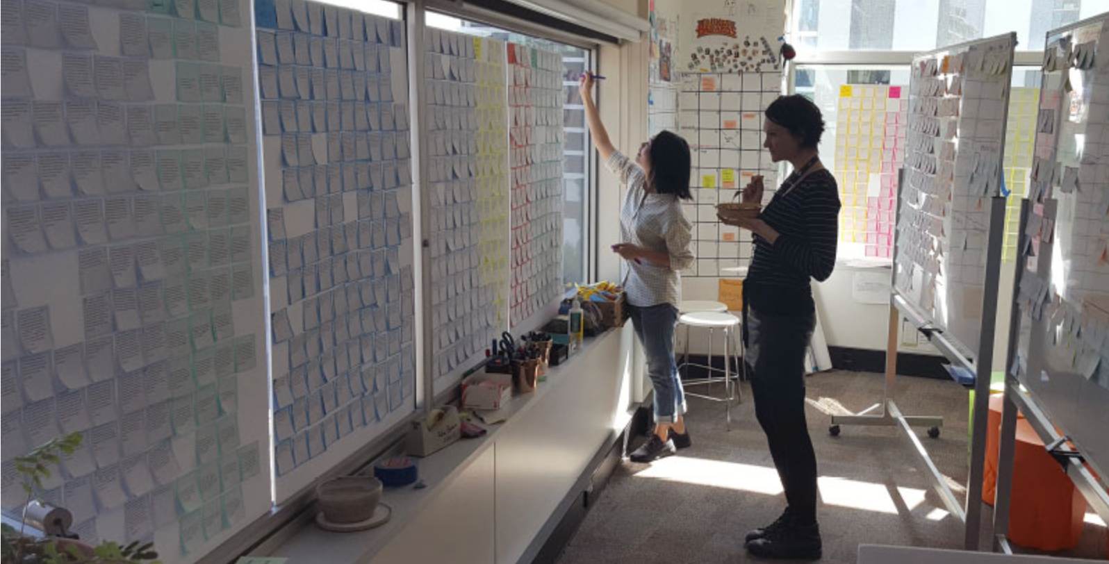
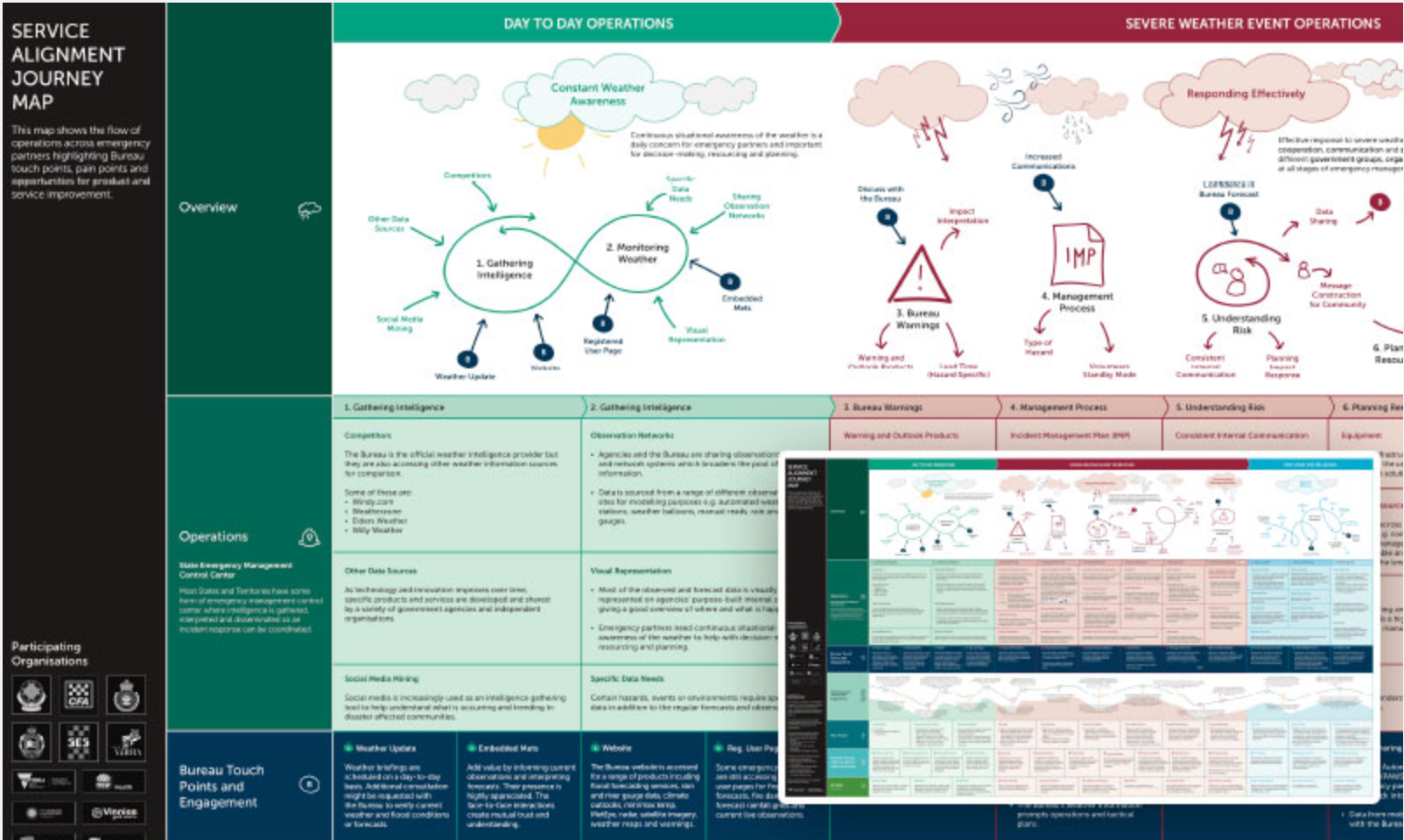
With data from 37 interviews, we developed an emergency partner service journey map, communication exchange map showing relationships across federal, state and local levels.
An additional 22 interviews with participants from emergency and infrastructure organisations in South Australia and Western Australia confirmed that while emergency-management structures varied between states, people had remarkably similar needs.
Key findings included the importance of visual and adaptable data, consistent communication, collaboration between agencies, embedded meteorologists and year-round preparation.
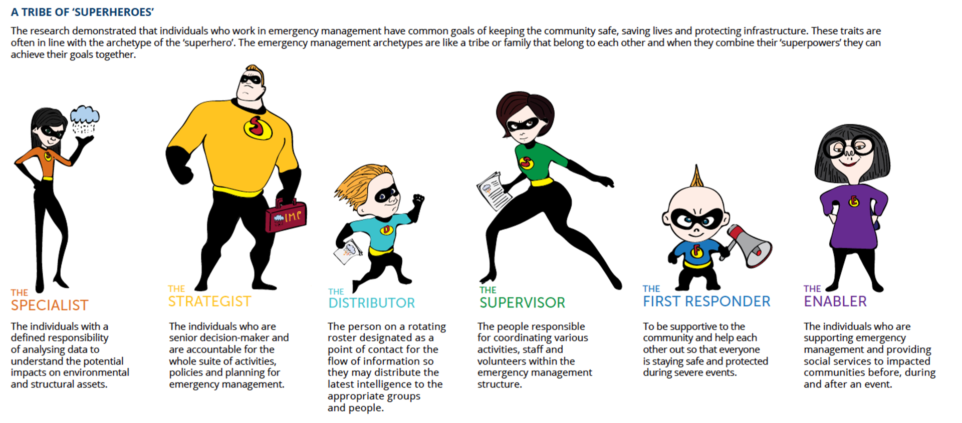
Six emergency-management archetypes were developed to highlight that they operate as an interconnected group each contributing to the shared goal of protecting life, property and infrastructure.
Concepts and prototype testing
Research was translated into concepts for more interactive, spatial and hazard-specific information and tested with emergency partners and councils across Victoria, Queensland, New South Wales and Tasmania. The work included ideation, co-design, critique workshops, low-fidelity testing, clickable prototypes and Customer Effort Score measures.
Designing tools for forecasters and operational teams
I also worked across several connected initiatives focused on the internal experience of forecasters and operational teams. The Forecaster experience research provided understanding in the tools, processes and communication required to produce forecasts and public advice.
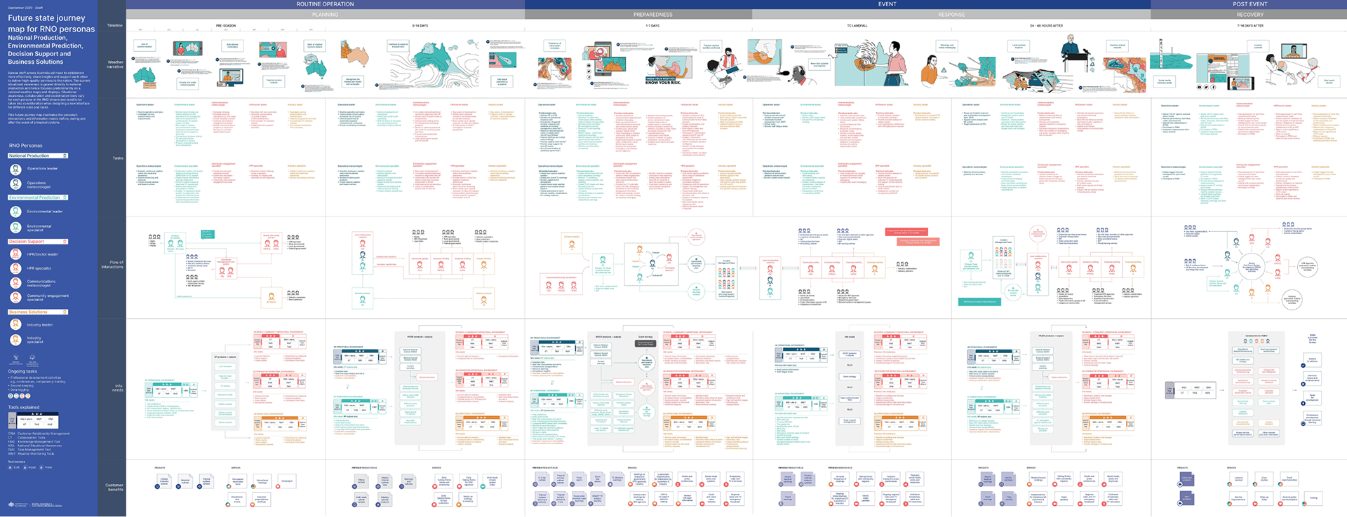
The National Situational Awareness Tool explored a replacement for an essential weather-monitoring tool used by expert staff. The National situational awareness and collaboration project explored how operational teams maintain national and local awareness, collaborate in real time and coordinate responses.
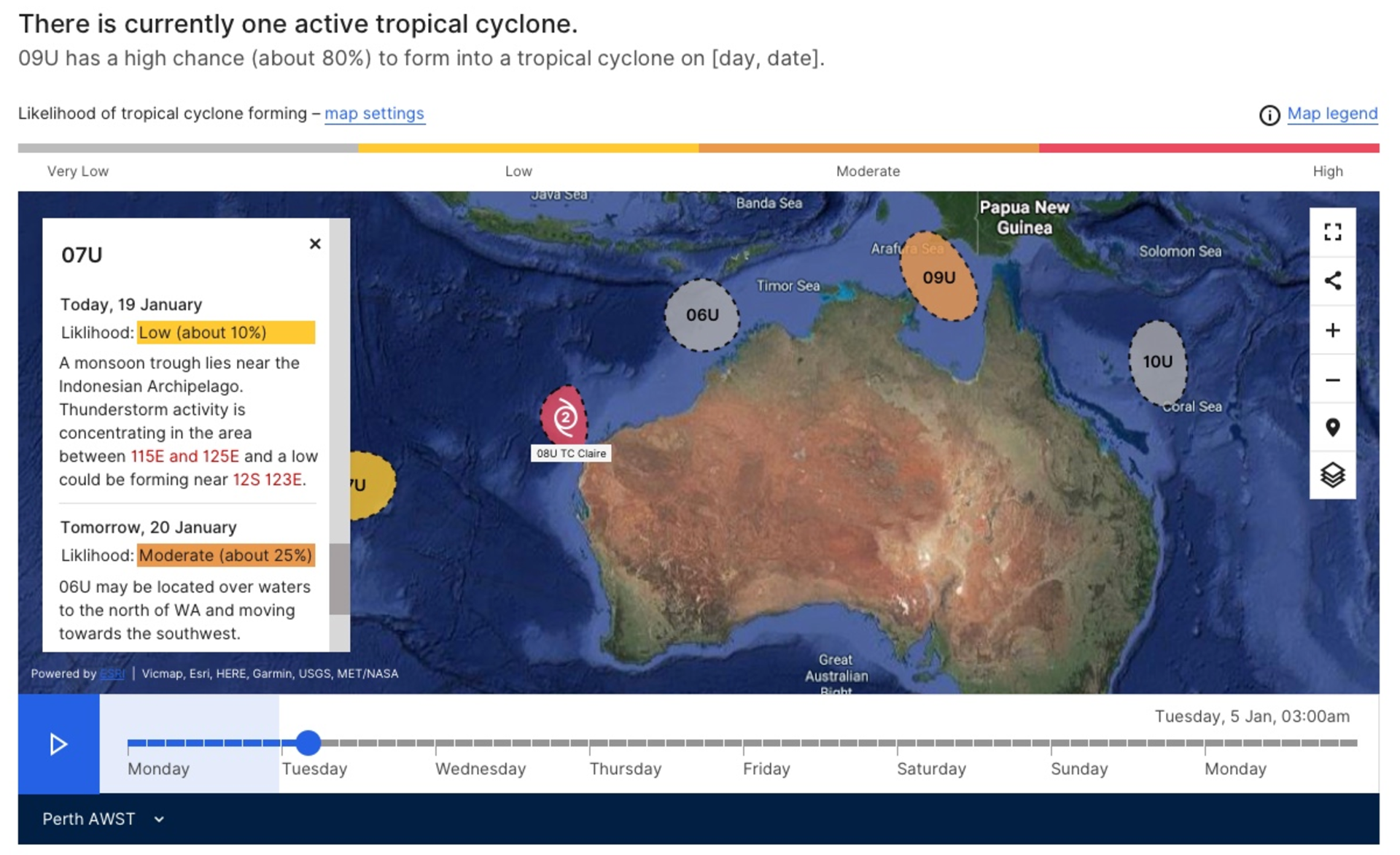
Tropical Cyclone 7-Day Outlook
Making hazard information understandable for public and expert users
The Bureau was moving from regional three-day tropical cyclone outlooks to a new national seven-day product.
I designed the web and PDF concepts using the new Bureau design system and tested them with public users, emergency services, defence and other specialist customers.
Research examined how people understood tropical lows, cyclone formation likelihood, forecast movement, map legends, commentary, filters and time-based playback.
The product was generally well received. Research findings informed improvements to terminology, commentary, map settings and the balance between public and advanced information.
Australian Climate Service
Bringing cross-agency climate data into one service
The Australian Climate Service brought together the Bureau of Meteorology, CSIRO, Geoscience Australia and the Australian Bureau of Statistics.
The team delivered a public website and demonstration customer portal within three months.
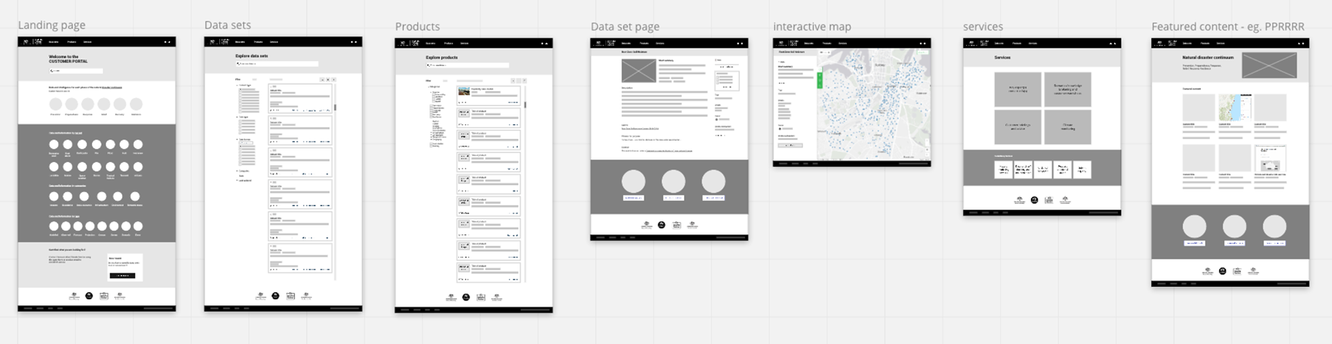
My contribution included partner workshops, requirements gathering, wireframes, a content and visual style guide and an ArcGIS Online portal concept that demonstrated how cross-agency climate information could support emergency planning and climate-risk decisions.
What connected the work
Although the audiences and subject matter varied, the projects shared several design challenges.
The information was often complex, technical and time-sensitive.
Users ranged from members of the public seeking a simple answer to experts making decisions about emergency response, water management or national forecasts.
Across the work, my role was to help the Bureau:
•understand different user behaviours and contexts
•translate specialist information into useful experiences
•test assumptions with real customers
•create shared artefacts that supported decisions
•connect public interfaces with the services and systems behind them
•establish evidence for future product development
My time at the Bureau strengthened my ability to work across both public and expert services.
It showed me that simplifying information does not mean removing important detail. It means understanding what different people need, when they need it and how they will use it.
It also reinforced that trust is created through the entire service, including the accuracy of the information, the systems behind it, the clarity of the interface and the organisation’s ability to communicate consistently.